
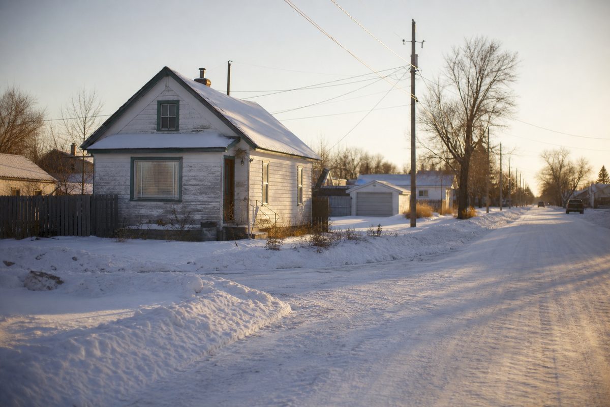
Snow Removal in Sutherland
A former railway town with two street grids that do not line up, absorbed into Saskatoon in 1956 and still laid out like its own place.
Sutherland spent 47 years as its own town before Saskatoon annexed it, and the street plan still says so. Saskatoon Snow Co runs routes through the neighbourhood on seasonal contracts and storm calls.
A Railway Town, Not a Suburb
The Canadian Pacific Railway reached Saskatoon in 1907 and built its yards and station three miles east of the existing city, on land the railway owned. That was standard CPR practice: bypass the existing community, build your own town site on your own land, and keep the real estate profit.
Sutherland was incorporated as a village on 30 August 1909 with about 102 residents, became a town in January 1912 once the population hit a thousand, and built a town hall that same month at Egbert Avenue and 108th Street. It stayed independent until 1956.
That is the reason this page exists as its own thing rather than as a line on a general Saskatoon page. Sutherland was planned by a railway for railway workers, and the shape of it never got rebuilt.
Two Grids That Do Not Line Up
This is the practical part. The railway’s town site was laid out on a grid running parallel to the tracks. The residential land next to it was subdivided by Albert Hanson on a conventional north-south grid. The two orientations meet at an angle, and the triangular gap left between them was built up as an industrial area, later the separate Sutherland Industrial subdivision.
For snow clearing that means a route through Sutherland does not run one consistent pattern. Approaches face different directions depending on which side of the seam a property sits on, which changes where snow can be pushed and where a machine can turn around. It is the kind of thing you only notice if you work the neighbourhood regularly, and the kind of thing that makes a crew unfamiliar with it slower.
A Century of Build Eras in One Neighbourhood
The original railway-era housing dates from 1909 to 1912, when the population jumped from 421 in 1911 to 940 by 1916. Then a long pause: 1,148 by 1931, 1,329 by 1951.
After annexation the infill kept coming in layers. A new Sutherland School opened in 1960 beside the 1913 building, the Dutch Growers subdivision went in during the 1980s, boundaries were redrawn in the 1990s, and Rutherford was built in 2003.
So a single route here can cover a 1910s lot with a narrow rear-lane approach, a 1980s subdivision with a front-attached garage, and a 2003 build with a wide modern apron. They are three different jobs, and quoting them at one rate is how a contractor ends up losing money on the old ones and overcharging on the new.
The 1956 Renaming
When Saskatoon annexed Sutherland in 1956 it had to deal with duplicate street names across the merged city. Sixth Street became 106th Street. Fraser Street became Fitzgerald. Railway Avenue became Gray Avenue.
Central Avenue kept its name, even though it stopped being central to anything the moment the town stopped being a town. Renumbering every property on it was judged not worth the disruption, which is a very Sutherland outcome and still the commercial spine of the neighbourhood.
For the services most Sutherland properties use, see residential snow removal, driveway snow removal, and sidewalk snow clearing.
Neighbourhoods We Serve in Sutherland
- Central Avenue
- Sutherland Industrial
- Dutch Growers area
- Rutherford
Our Services in Sutherland
- Residential Snow Removal in Sutherland
- Driveway Snow Removal in Sutherland
- Sidewalk Snow Clearing in Sutherland
- Seasonal Snow Contracts in Sutherland
- Snow Removal for Seniors in Sutherland
- Snow Shoveling in Sutherland
- Commercial Snow Removal in Sutherland
- Parking Lot Snow Removal in Sutherland
- Condo & Strata Snow Removal in Sutherland
- Snow Plowing in Sutherland
- Snow Hauling & Removal in Sutherland
- Ice Control & Salting in Sutherland
- Sanding Services in Sutherland
- Roof Snow Removal in Sutherland
- Ice Dam Removal in Sutherland
- Emergency Snow Removal in Sutherland
Snow Removal Questions in Sutherland
Why do you talk about Sutherland having two street grids?
Because it does, and it changes how a route runs. The CPR laid its town site on a grid parallel to the tracks, while the residential land beside it was subdivided on a standard north-south grid. The two never lined up, and the triangular gap between them became the industrial area. Clearing across that seam means changing orientation partway through a route rather than running one clean pattern.
Is the housing here older than the rest of the east side?
Considerably. Sutherland was a village in 1909 and a town by 1912, and it stayed independent until 1956. The original railway-era core is nothing like the 1980s Dutch Growers subdivision or Rutherford, which was built in 2003. The neighbourhood carries about a century of build eras in a small area, and a driveway from 1912 does not behave like one from 2003.
Do the street names really not match the rest of the city?
They were changed to match, in 1956, when Saskatoon annexed the town and had to remove duplicates. Sixth Street became 106th Street and Railway Avenue became Gray Avenue. Central Avenue kept its name despite no longer being central to anything, because renumbering every house on it was not worth the trouble.
Does the University traffic affect clearing times?
It affects the timing more than the work. Sutherland sits near the University, so morning outbound traffic starts early, which is a reason route customers here get cleared overnight rather than mid-morning.
Clearing Snow in Sutherland
Driveways, walks, and lots cleared across Sutherland. Get a free quote on your property.